Showcase Geolocation Data on Smartphone Map
Product Description
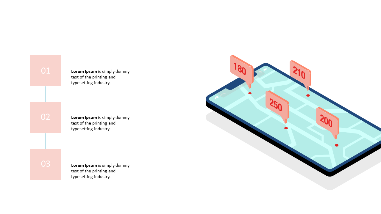
Showcasing complex geolocation data can be overwhelming, and it’s essential to present the information in a way that’s easy to understand. With the right visual, you can clearly communicate your data insights and enhance your audience’s comprehension. This slide features a smartphone displaying a map with various data points, making the visualization of analytics straightforward.
Data analysts, marketing professionals, and urban planners can effectively use this slide during reports, strategic planning sessions, or project updates. It’s perfect for illustrating trends, demographic studies, or location-based marketing strategies.
By using this visual, you can ensure that your audience grasps key insights at a glance. For just $0.99, this slide is ready for immediate download, and it’s easily editable in both PowerPoint and Google Slides. Tailor it quickly to fit your unique data sets and elevate your presentations in no time.
$0.99 – Purchase Checkout
Added to cart