Present Canadian Cities with Detailed Map

Product Description
Conveying essential information about Canadian cities can be tricky when you want to maintain clarity while also keeping your visuals engaging. A cluttered map or lack of focus may leave your audience confused.
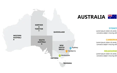
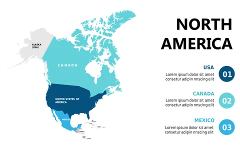
This slide provides a polished view of Canada, clearly highlighting provinces and cities, making it easy for your audience to follow along. This slide is ideal for urban planners presenting to local governments, travel agencies detailing destinations, or analysts studying regional economic data. Imagine using it during a conference call with stakeholders or during a workshop about tourism trends in Canada, where clarity is key.
For just $0.99, you can download this slide instantly, and it’s simple to edit in PowerPoint or Google Slides. Customize the colors and icons quickly to match your presentation style and have it ready in minutes.
$0.99 – Purchase Checkout
Added to cart