Showcase Africa with Engaging Color-Coded Map
Product Description
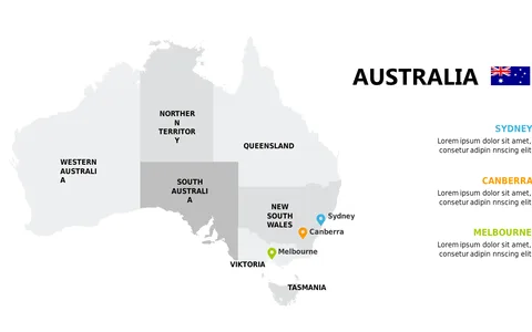
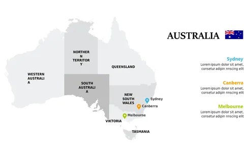
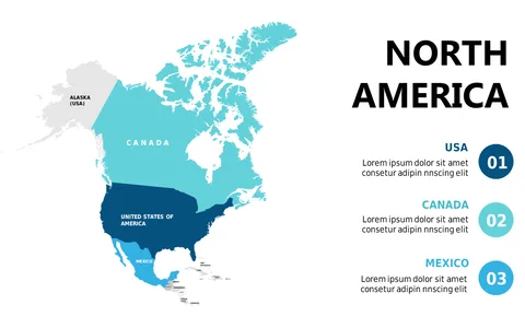
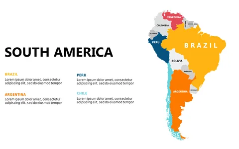
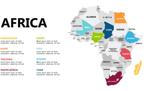
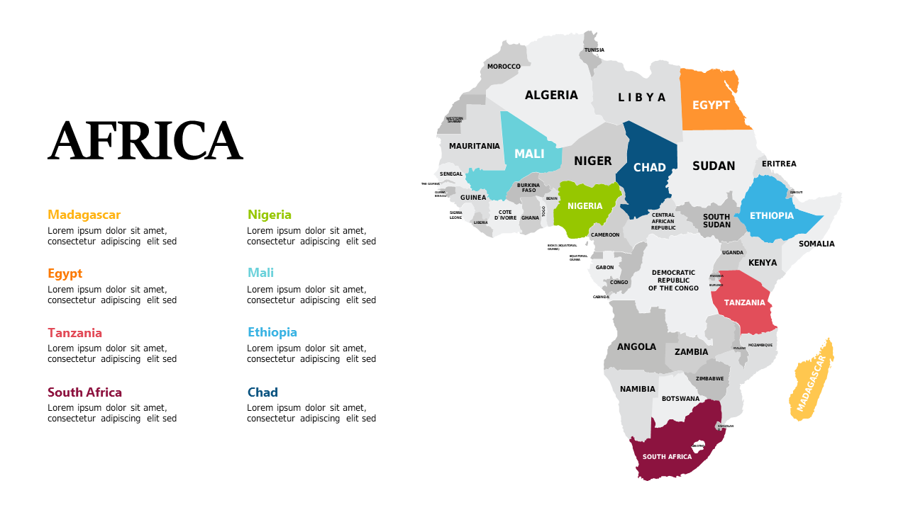
Having difficulty illustrating regional distinctions within Africa effectively? This engaging color-coded map provides a clear visual representation of the continent’s diverse landscape.
It simplifies the presentation of geographical data, making it accessible and memorable for your audience. Perfect for non-profit workers discussing regional aid, business strategists exploring market entry, or teachers leading geography lessons, this slide enhances your ability to communicate important data. Use it in workshops, presentations, or educational seminars to provide clarity and context to your audience.
For only $0.99, you get immediate access to this customizable slide, compatible with both PowerPoint and Google Slides. It’s designed to save you time and enhance your presentations, allowing for quick edits that better reflect your message.
$0.99 – Purchase Checkout
Added to cart