Editable Vector Maps of Austria and Scandinavia
Product Description
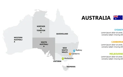
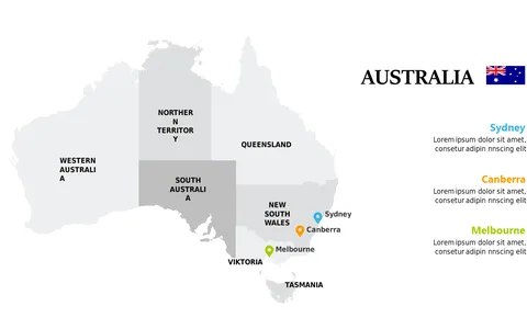
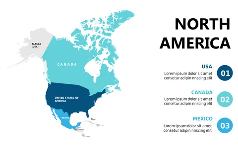
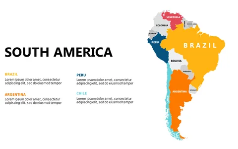
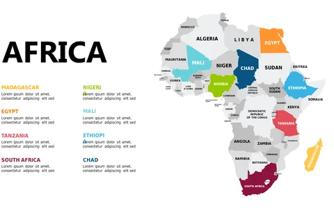
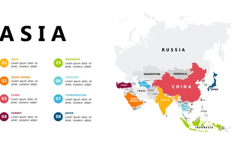
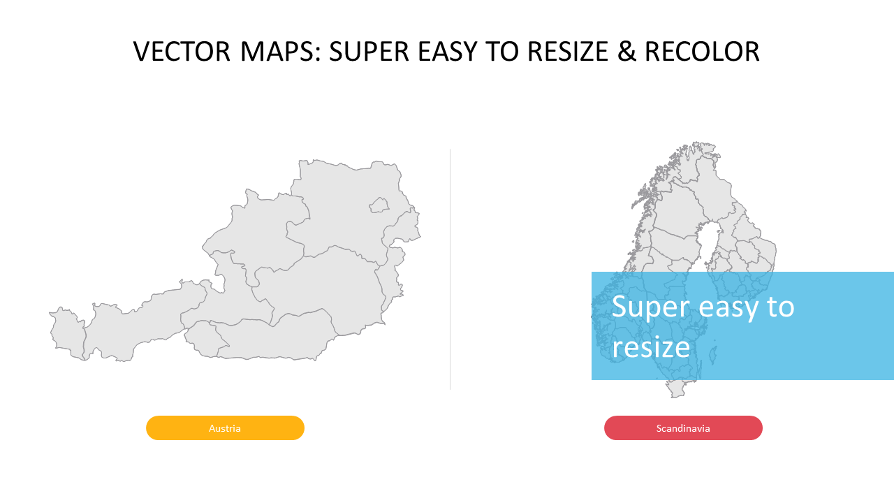
When your presentation hinges on geographic context, the right visuals can elevate your message. This slide features editable vector maps of Austria and Scandinavia, giving you the flexibility to adjust labels, colors, and sizes as needed.
By customizing these maps, you can make your presentation more relevant and engaging for your audience. This slide is particularly useful for market researchers conducting regional analyses, project managers outlining logistics, or educators teaching about specific European regions. Whether you’re leading a business review, crafting a lesson, or presenting at a conference, these maps can help make your data resonate.
For only $0.99, you can download this slide instantly and edit it in both PowerPoint and Google Slides. This means you can quickly tailor it to your needs and make a strong impression in just minutes.
$0.99 – Purchase Checkout
Added to cart