Editable Geographic Comparison Maps for Presentations
Product Description
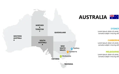
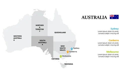
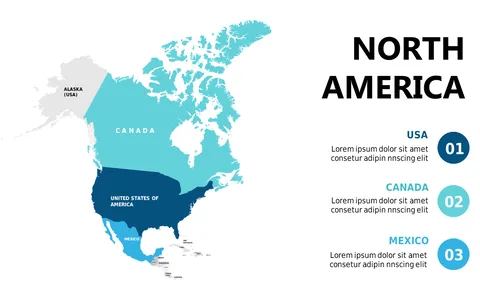
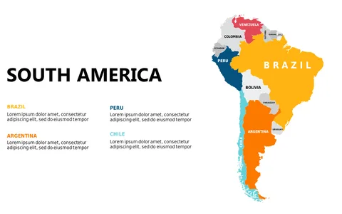
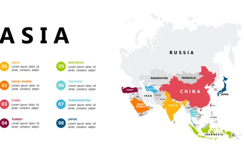
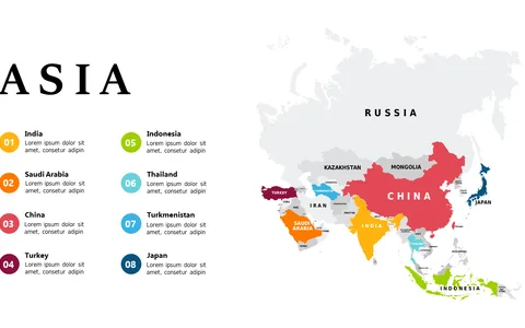
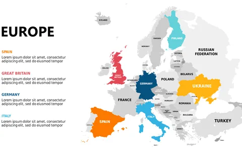
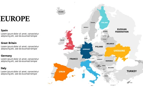
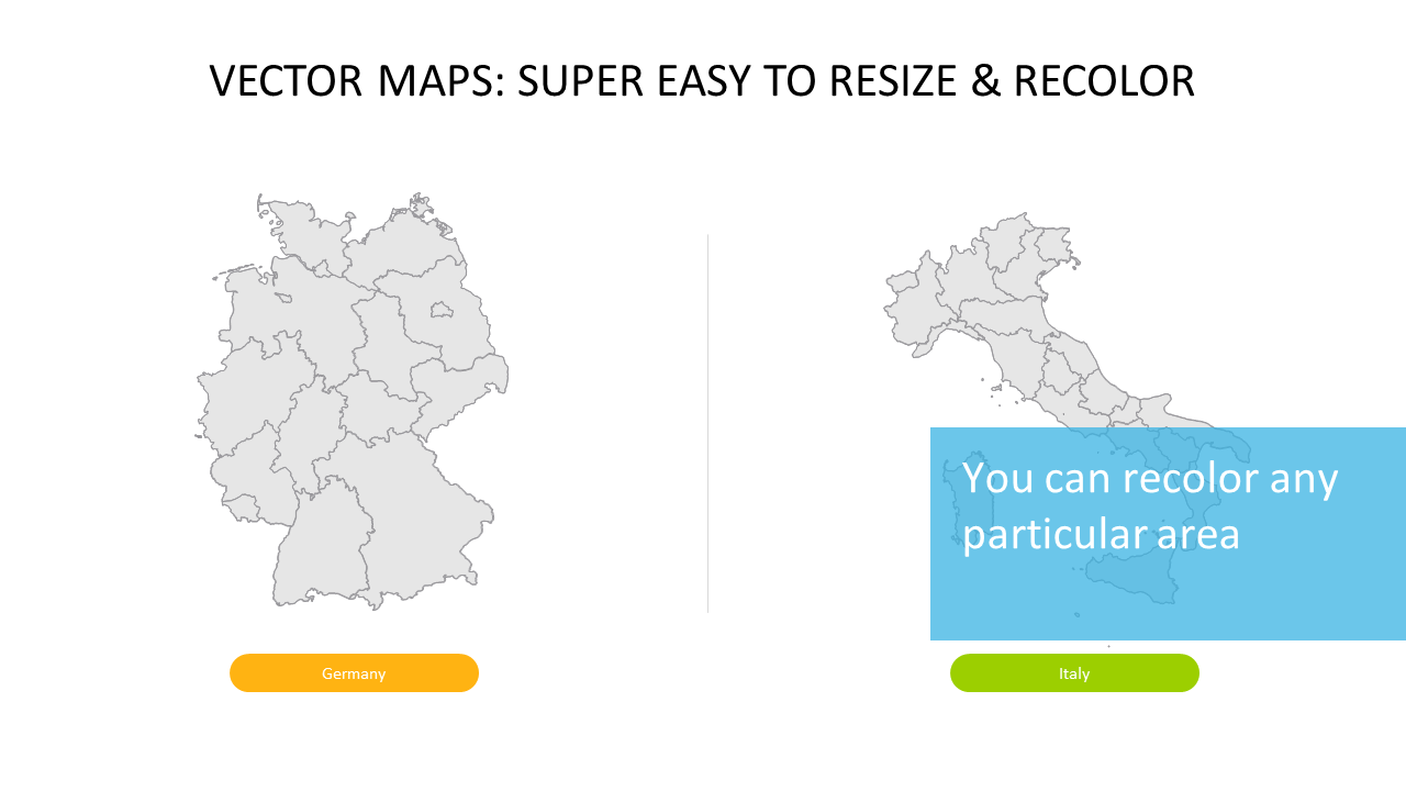
Conveying geographic information clearly has never been more important, especially in today’s fast-paced environment. This slide offers a side-by-side comparison of two vector maps, allowing you to emphasize specific regions with custom colors and labels that capture your audience’s attention.
It streamlines complex information into an easily understandable format. This slide is perfect for data analysts needing to present regional trends, teachers explaining geographic concepts, or sales teams comparing market potential across locations. Whether you’re in a strategy session, classroom setting, or a client presentation, this clear layout helps your audience grasp your points quickly.
For just $0.99, you can download this slide immediately and start editing it to fit your presentation style. It’s simple to customize in PowerPoint and Google Slides, ensuring you can make it unique in no time.
$0.99 – Purchase Checkout
Added to cart