Canada Map for Regional Strategy Presentations

Product Description
Creating a presentation that conveys regional data can be tricky without the right visuals. Generic maps often fall flat and don’t communicate the specifics needed.
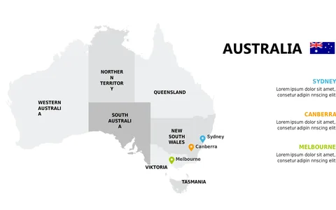
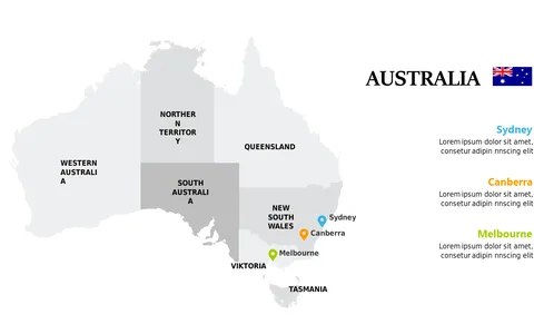
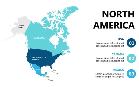
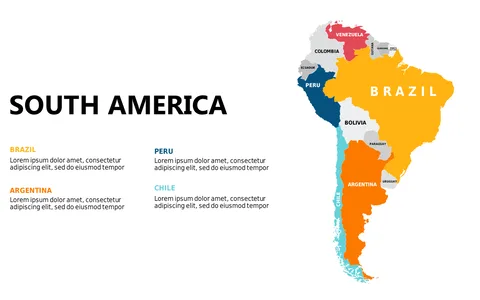
This Canada map slide provides a detailed outline of the country, with major cities clearly marked, making it an ideal choice for regional strategy discussions. Professionals such as regional managers, urban planners, or geographic analysts will benefit from this slide during strategic planning sessions or client presentations. It allows you to communicate your strategy effectively, whether you’re discussing market penetration or resource allocation across different regions in Canada.
Available for just $0.99, this slide is easy to download and customize. You can edit it in PowerPoint or Google Slides, making it simple to adjust the details to suit your presentation needs in no time at all.
$0.99 – Purchase Checkout
Added to cart