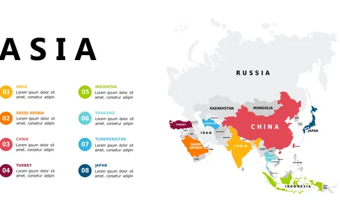
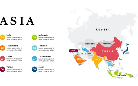
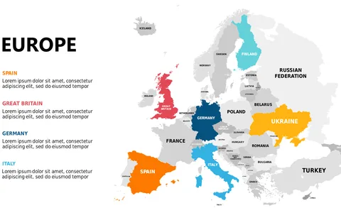
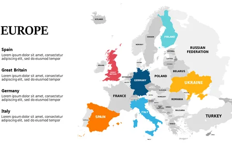
Highlight European Countries with Color-Coded Map

Product Description
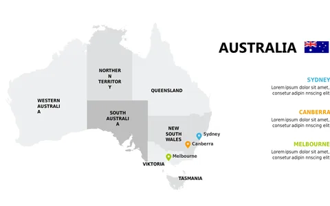
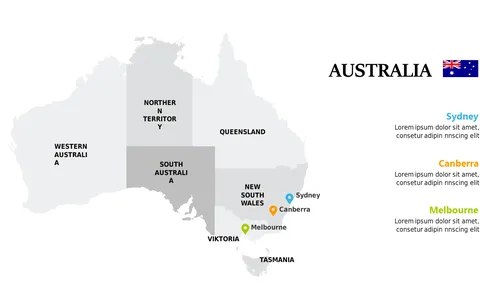
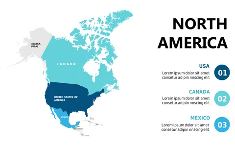
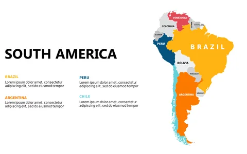
Do you find it challenging to effectively communicate information about European countries in your presentations? A generic map may not capture the attention of your audience or highlight the details you need.
This color-coded map layout is designed to do just that, making it easier to discuss regional differences in a visually appealing way. Ideal for geographers, tourism professionals, or policy makers, this slide suits any presentation focused on cultural studies, geography, or political analysis. Use it during conferences, client meetings, or educational workshops to present insights clearly and effectively, captivating your listeners’ interest.
For just $0.99, you can download this slide instantly and start using it right away. It’s easily editable in PowerPoint and Google Slides, allowing you to adjust colors and labels to match your presentation’s theme, so you’ll be ready to impress in no time.
$0.99 – Purchase Checkout
Added to cart