Visualize European Countries with Color-Coded Map
Product Description
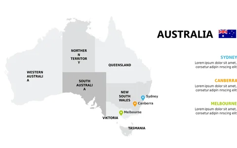
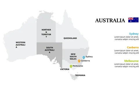
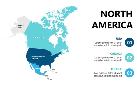
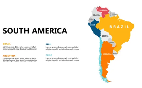
Are your geography presentations falling flat when it comes to visual impact? A standard map might not convey the important distinctions you need to highlight.
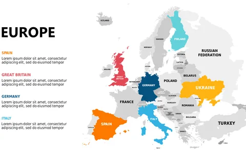
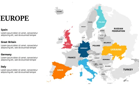
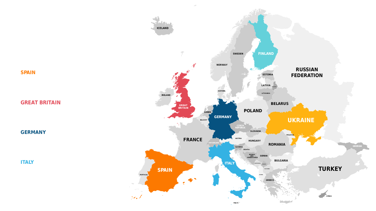
This color-coded map of Europe creates a powerful visual tool to help you illustrate cultural, political, or economic differences in an engaging way. This slide is perfect for educators, political analysts, or business professionals delivering presentations on international trade, cultural comparisons, or academic discussions. Use it during lectures, conferences, or team briefings to present data clearly and attractively, ensuring your points resonate with your audience.
For only $0.99, this visually stimulating slide is available for instant download. It’s easy to edit in PowerPoint or Google Slides, allowing you to customize colors and labels to suit your needs, so you can craft an engaging presentation quickly and efficiently.
$0.99 – Purchase Checkout
Added to cart