Analyze Regions with Canada Overview Map

Product Description
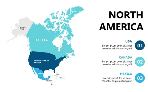
When discussing geographic data or regional analyses, a clear visual representation can make all the difference. This detailed map of Canada allows you to highlight major cities and tailor your presentation to focus on key locations relevant to your topic.
It’s the solution you need for effectively conveying geographical insights. This slide serves well for business development analysts presenting regional market insights, travel planners discussing itineraries, or educators teaching geography. It’s versatile enough for use in academic settings, corporate strategy meetings, or travel briefings, making geographic data accessible and engaging.
For just $0.99, this slide is available for instant download and is editable in both PowerPoint and Google Slides. Customize city names and descriptions easily, allowing you to craft a presentation that feels personalized and informative within minutes.
$0.99 – Purchase Checkout
Added to cart