Premium Geographic Data Visualization PowerPoint Templates
Product Description
When you need to convey complex geographic data, the overwhelming amount of information can often cloud your message. You might find yourself struggling to present your insights clearly, leaving your audience confused rather than informed. A polished and professional presentation is crucial to ensuring your data speaks for itself and resonates with your audience.
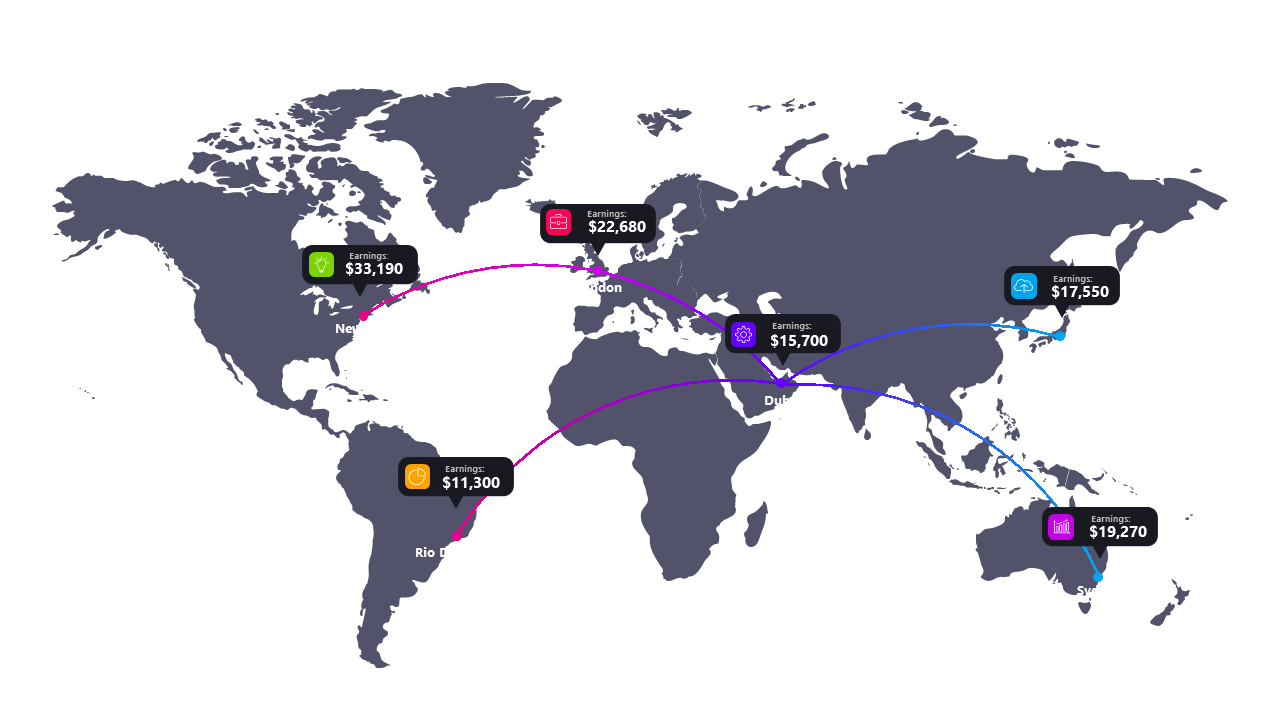
This premium Geographic Data Visualization PowerPoint template is perfect for analysts presenting market research findings, sales teams showcasing regional performance, or project managers detailing site selection criteria. Whether you’re in real estate, logistics, or any industry where location data matters, this template will help you create compelling visual narratives in board meetings or client presentations. You’ll be able to highlight key insights effectively, making your data engaging and accessible.
The download includes 19 expertly designed slides, each crafted to allow for easy editing and customization. With a clean, light background, your visuals will pop, making them suitable for both digital sharing and print. At just $3.99, you can have this template ready to go in minutes, ensuring you’re always prepared to make your geographic data shine.
🛡 7-Day Money-Back Guarantee