SlideSwift
By Category
💼Business 📊Infographics □Minimal 🕐Timelines ✨Neumorphic 🗑Diagrams 🔄Flow Charts ✨Glassmorphism 🎨Creative 🌍Abstract 🔄Cycle Diagrams 💎Isometric 🖼Illustrations 📱Social Media 🗺MapsBy Slide Type
🚀Pitch Deck 📌Roadmap 🔍SWOT Analysis 📅Timeline 📈Gantt Chart 🏢Org Chart 📋Funnel ⚖Comparison 📄Case Study 📋Agenda ⭐Icons & Lists 👏Thank You
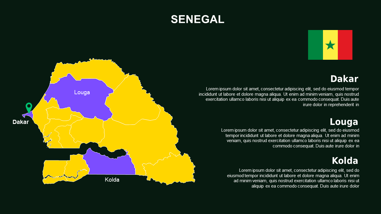
When you’re pressed for time and need a visually appealing way to present geographical data, the Mali Map and Regions Overview PowerPoint Template can save the day. This template helps you avoid the hassle of creating slides from scratch, ensuring you have polished visuals ready for your upcoming board meeting. You won’t have to compromise on quality with this professional set designed for busy professionals like you.
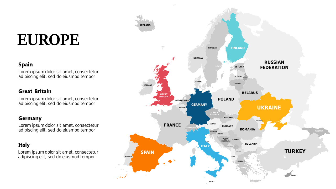
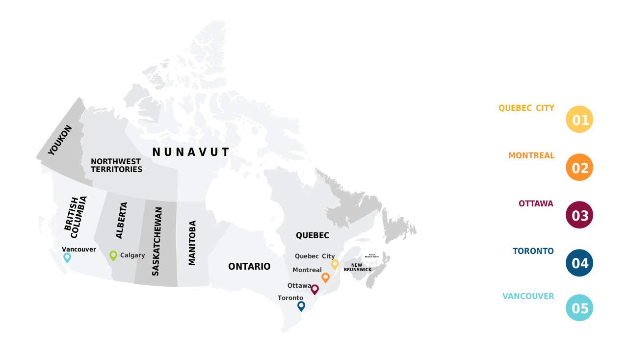
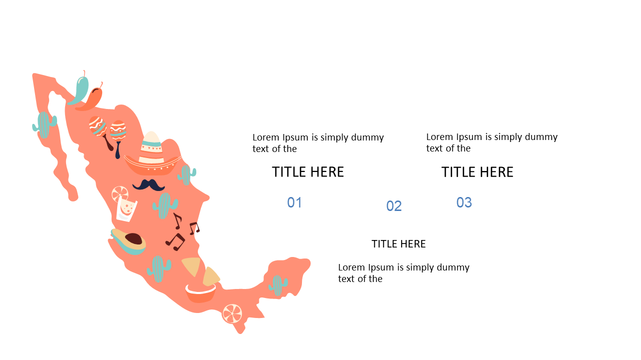
Inside this template, you’ll find four well-structured slides that utilize a default color palette, perfect for a corporate setting. The slides include detailed maps, regional highlights, and informative infographics, making it easy for you to present complex information clearly. You can customize the layouts to fit your narrative, utilize charts to depict relevant statistics, and clearly showcase each region’s significance and demographics with minimal effort. Additionally, the template features visually appealing icons and text boxes that help maintain audience engagement throughout your presentation.
This template is ideal for a variety of roles, including a project manager presenting regional insights, a business consultant outlining market opportunities, or an educator discussing Mali’s geography. It’s also useful for non-profit organizations needing to visualize community projects. For only $3.99, you can enjoy an instant download, allowing you to quickly edit the slides in PowerPoint. Don’t miss this chance to impress your audience with your well-prepared content and eye-catching visuals.
🛡 7-Day Money-Back Guarantee
Yes — every element in the Maps & Geography slides including text, colors, icons, shapes, and layouts is 100% editable in Microsoft PowerPoint 2016 and above. No design skills or additional software required.
Yes. Import the downloaded Maps & Geography PPTX file into Google Slides from Google Drive. All layouts, fonts, and formatting transfer correctly — no manual fixes needed.
You get one fully editable PPTX file (Dark theme) — downloadable immediately after payment. No subscription, no waiting. Open it in PowerPoint or Google Slides and start editing right away. A full PDF preview of all slides is also available before you purchase so you know exactly what you are getting.
This template includes 4 professionally designed Dark theme slides. Each slide covers a different layout so you can pick exactly the ones that fit your presentation without redesigning anything from scratch.
Yes — country and region shapes in these Maps & Geography slides are individual editable PowerPoint elements, not a flat image. Click any country and change its fill color to highlight regions for your data or heat map.
Yes — your $3.99 purchase includes a full commercial license for the Maps & Geography template. Use it for client presentations, business pitches, agency projects, and paid work with no attribution or royalty requirements.
Contact us and we will fix it within 24 hours — whether the file is not downloading, not opening, or not matching what you saw. Before purchasing, you can also preview every slide as a PDF so there are no surprises. If we cannot resolve the issue, we will make it right.